Implementations & Case Studies
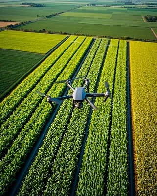
Precision Agriculture
Utilize basemaps to monitor crop health, optimize irrigation, and increase yields. Drone images provide high-resolution and accurate data to ensure effective farm management.
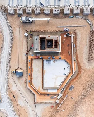
Construction Planning
Basemaps are essential in construction projects for site planning, progress tracking, and environmental impact assessments. Drone-captured images offer real-time updates.
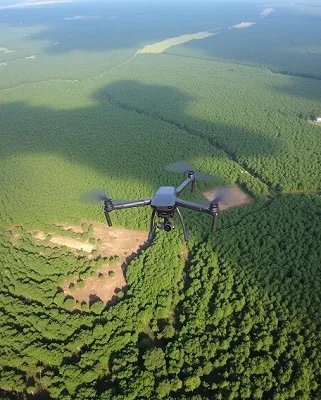
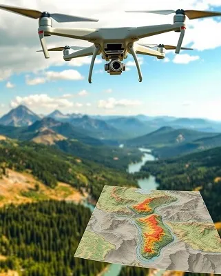
Environmental Monitoring
Track changes in natural environments with basemaps created from drone images. Ideal for assessing deforestation, land degradation, and habitat conservation.
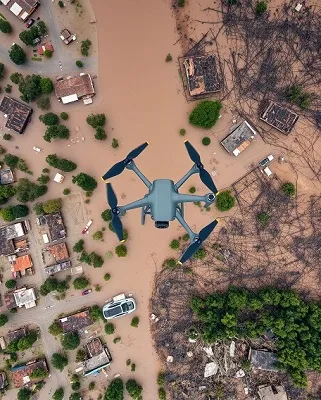
Disaster Response
Basemaps help emergency responders assess damage, plan rescue operations, and coordinate relief efforts. Drone images provide critical data in disaster-hit areas.
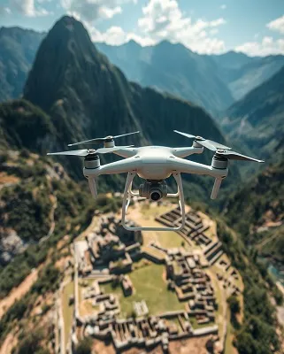
Hobbyist Exploration
Capture and document personal explorations of remote or unique locations. Map and document historical or archaeological sites for preservation or educational purposes.
Education and Research
Use drone mapping to learn about geography, geology, and environmental science. Document and analyze various research projects or experiments.